Investigating Dispossession

A cleverly structured online resource that localises stories
of the early interactions between colonists and First Nations
Peoples in two parts.

CONFLICT & COEXISTENCE

Investigating Dispossession

The first part invites readers to investigate the investigations that followed violent conflict at Broken River in 1838 and at Whorouly in 1840. The second part analyses the observations made by three shrewd witnesses on how the colonists and the First Nations People were learning to live together.

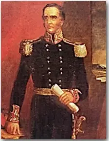
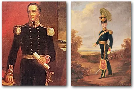
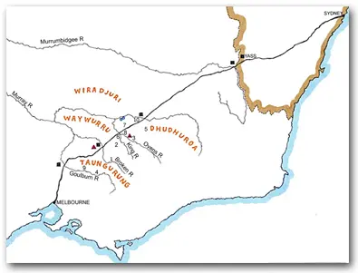
Just as Major Samuel Lettsom was on his infamous mission in 1840, readers are set the task of obtaining ‘authentic information of the actual state of the district between Yass and the Goulburn River, and to ascertain the nature of the communications which are kept up between the settlers and the blacks.’
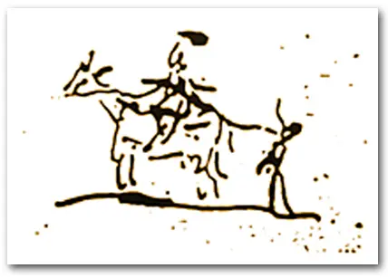
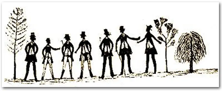
‘Authentic information’? Both parts of the resource operate on two levels. They unravel stories of early post-contact interactions, and, at the same time, they draw attention to complications of evidence-based storytelling. The resource includes newspaper reports, squatters and stockmen memory pieces, letters by Lady Franklin to her husband, the musings of George August Robinson in his personal journals, and the drawings Tommy McRae made to tell of older times and of his present day.
There is a community readiness to explore local stories of dispossession. What is more, State and National governments are sharpening curriculum requirements for all students to learn about First Nations Peoples’ experiences of colonisation. This online resource will help school and community historians with that endeavour.

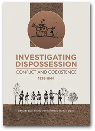
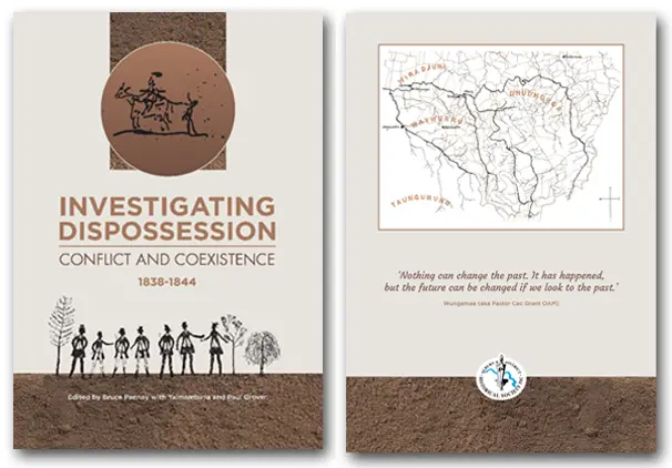
PUBLICATION DETAILS

Cover

Publication information, orientation map, contents

Introduction

Introduction People and Place Picture Prompts, pp 1- 27.

Investigation One

Territorial claims, resistance, and reprisals following the 1838–1839 Broken River attack.

Investigation Two

Territorial claims, resistance, and reprisals following the 1840–1844 Whorouly attack.

Investigation Three

Negotiating Coexistence, pages 73-104.

Conclusion

Remembering violence and coexistence at public memory places, pages 105-117.

Picturing Dispossession near the Murray River Crossing, 1838-1844

Four short notes and a longer article explore pictures related to dispossession near the Murray River Crossing. They have been published and are available at the websites indicated. They draw on and feed into the publication Investigating Dispossession: Conflict and Coexistence 1838-1844, Albury & District Historical Society Inc, 2025.

https://alburyhistory.org.au/investigating-dispossession/

• ‘Interpreting an Image: Picturing Frontier Policing 1838-1840‘, Victorian Historical Journal, 97, no. 1, 2026, pp. 239-243.

• ‘Interpreting an Image: Picturing Sound and Song at the Murray River Crossing‘, Victorian Historical Journal, 93, no. 1, 2022, pp. 229-234.

• ‘Interpreting a Picture: George Augustus Robinson’s Yass to Port Phillip Road, 1840-1844′, Journal of the Royal Australian Historical Society, vol. 110, part 1, 2024, pp. 90-99.

• ‘Blood in the Crossing Place‘, Border Mail, 3 November 2025.

• ‘Picturing Civilisation‘, Journal of the Royal Australian Historical Society, vol. 111, part 2, 2025, pp. 225-244.